 placenames
Feenagh
Fíonach
An 1837 account records livestock fairs, landed residences and a small parish school.
The name
A reliable full-name meaning has not been established here. The recorded Irish and English forms are given without an unsupported translation.
Recorded forms
- Fíonach · Irish · main form · non-validated name
- Feenagh · English · main form
Place & story
Sheep and pigs at Rossmanagher
Samuel Lewis described Feenagh under the spelling Finogh in 1837. Situated northwest of Sixmilebridge on the Ennis road, the parish had good agricultural land, chiefly cultivated for crops. Rossmanagher held five annual fairs, in January, May, June, September and October, principally trading sheep and pigs. [2]
Residences around the parish
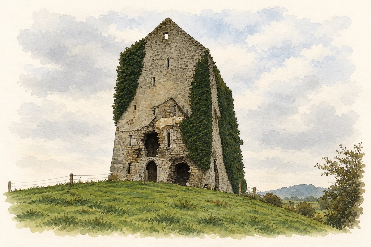
Lewis identified Rossmanagher as the residence of Lieutenant-Colonel William O'Brien. His other named seats were Deer Park, occupied by E. Mansell; Springfield, associated with F. Morice; and Streamstown, occupied by E. Wilson. Alongside these inhabited properties, he noted the surviving ruins of an older castle at Rossmanagher. [2]
School and burial ground
The parish's Catholic congregation belonged to the Sixmilebridge district. About thirty children attended a school supervised by the parish priest. Lewis also recorded the old church standing in ruins within its burial ground. In the Church of Ireland arrangements, the rectory belonged to the Tomfinlough union and the vicarage to Kilfinaghty. [2]
Geographic information
- Place type
- Civil parish
- County
- Clare
- Barony
- Bunratty Lower
- Coordinates
- 52.72460, -8.80585
- Mapped area
- 11.6 km²
- Logainm ID
- 422 ↗
Sources & further reading
- Logainm.ie — Feenagh. Place names and geographic record, licensed under CC BY 4.0.
- Finogh, A Topographical Dictionary of Ireland, 1837 · Samuel Lewis
- The surviving tower of Rossmanagher Castle, County Clare, as photographed in November 2006 illustration: based on a Rossmanagher Castle by Liam. AI-assisted watercolour and ink adaptation; cream paper margins added, incidental clutter omitted and fine details simplified. Licence: CC BY-SA 2.0.
Name record retrieved 2026-10-25 · Source record modified 2021-11-01. How this page was prepared.