These Irish name elements are associated with this record in the Logainm glossary.
An element’s translation is a clue, rather than a complete explanation of the name. Its form and meaning depend on local history and the full Irish name.
Recorded forms
Baile an Gharraí· Irish · main form · validated name
Ballingarry· English · main form
Place & story
A village built around coal
In 1837 Samuel Lewis described Ballingarry as a comparatively new village, grown within the previous twenty years. Nearly 100 houses accommodated people chiefly connected with the neighbouring collieries. The village held cattle and pig fairs and had a police station. A Catholic church had been erected in 1828 on land supplied by Colonel Pennefather, with a schoolhouse in its grounds. This was a settlement closely tied to the working coalfield of the Slieveardagh hills.[2]
Famine through a curate's report
In a report published on 8 May 1847, Fr Philip Fitzgerald described the collapse of living conditions among the mining families. As secretary of the district relief committee, he had seen applicants wait weeks for admission to public works. Formerly furnished houses had lost their tables, chairs and beds through sales or pawning. He reported fever, dysentery and increasing deaths, and said that more than a thousand people had just been dismissed from the works before replacement food relief had begun.[3]
The farmhouse near The Commons
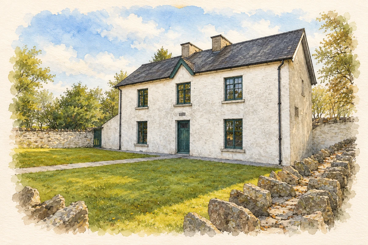
The nearby McCormack farmhouse became the focus of the Young Ireland rising in 1848. Police barricaded themselves inside, holding five children there, while insurgents led by William Smith O'Brien surrounded the building. Two rebels were killed. The house is now the Famine Warhouse museum, explaining the encounter, the trials and transportation of the leaders, and the wider European and Irish setting of the rising.[4]
Remembering Young Ireland in the village
A mural at the entrance to the church grounds commemorates eleven participants associated with Ballingarry and The Commons in 1848. Neil O'Dwyer painted it to a plan by historian Thomas McGrath. Among its portraits are O'Brien, Thomas Francis Meagher and John Blake Dillon. Its Irish, European Union and United States flags connect the local rising with the revolutions in Europe and the later American lives of several participants.[5]
The Presentation schools
The Presentation Sisters established their Ballingarry convent in August 1871 and began primary classes that October with 100 children. A boarding school followed in 1887. Later developments included a day school and eventually a mixed secondary school. The sisters'150 th-anniversary history records another wartime episode: three French refugee girls stayed at the convent during the Second World War, returning to France in 1945. The changing schools formed a lasting educational presence in the district.[6]
Both counts use the 2016 settlement boundary, allowing like-for-like comparison. CSO supplies the 2022 count on this older boundary for comparison only. The official 2022 Built Up Area has different boundaries.
View population figures
Ballingarry — Census 2016 settlement footprint — census population
Ballingarry, South Tipperary — Census town, CSO 2006 report
2002–2006: census town
129people · 2006
These are the historical areas published in the 2006 census report. Boundaries may differ between censuses and from modern settlements. Legal towns, environs and suburbs are shown separately; none has been combined into a modern settlement total.
View population figures
Ballingarry, South Tipperary — Census town, CSO 2006 report — census population
Ballingarry, South Tipperary — Census town, CSO 1996 report
1991–1996: census town
315people · 1996
These are the historical areas published in the 1996 census report. Boundaries may differ between censuses and from modern settlements. Legal towns, environs and suburbs are shown separately; none has been combined into a modern settlement total.
View population figures
Ballingarry, South Tipperary — Census town, CSO 1996 report — census population
These figures use different area definitions. Read the boundary note before comparing them.
Ballingarry, South Tipperary
Published census settlement populations
269people · 2016
Settlement boundaries changed during this period. Differences may reflect boundary changes as well as population change. Where a 2011 legal-town-and-environs count is shown, it has not been recalculated onto the 2016 settlement boundary.
 placenames