Bridgetown's canal formed part of a major nineteenth-century drainage scheme, preserving a water route for local trade after the enclosing of Ballyteigue Lough.
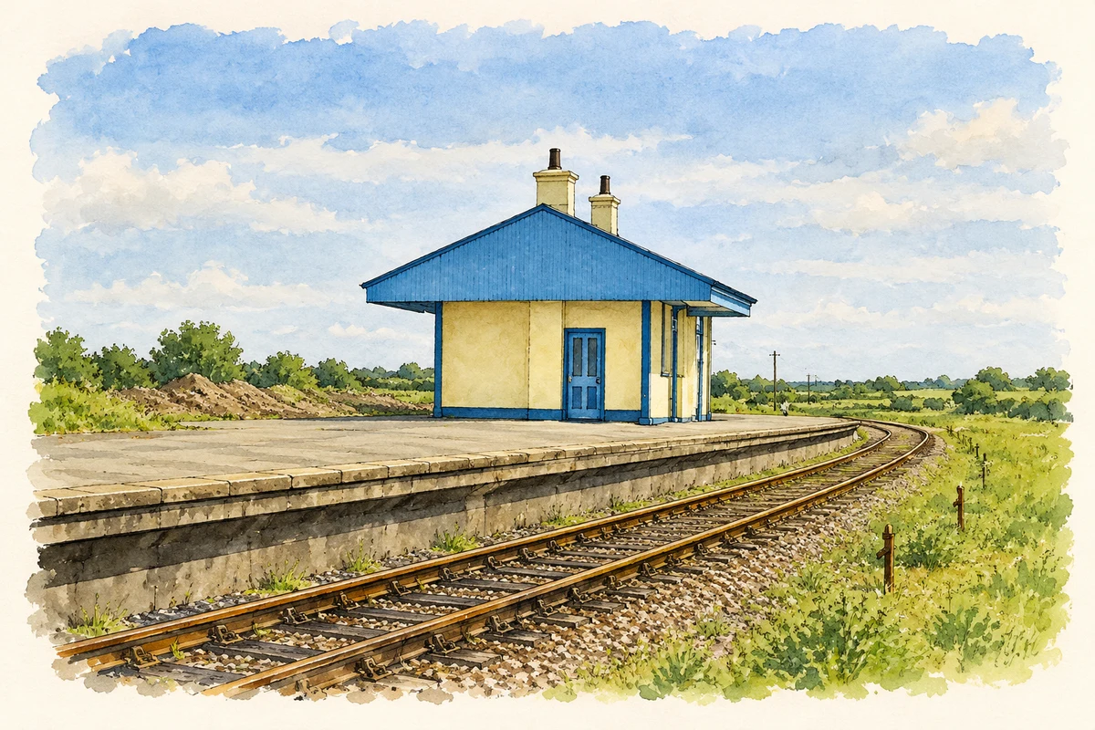
Reconstruction, Bridgetown railway station building, 1993
⊕Recorded locationBridgetown52.23025° N · 6.55120° WInteractive map supplied by OpenStreetMap.
These Irish name elements are associated with this record in the Logainm glossary.
An element’s translation is a clue, rather than a complete explanation of the name. Its form and meaning depend on local history and the full Irish name.
Recorded forms
Baile an Droichid· Irish · main form · validated name
Bridgetown· English · main form
Place & story
The village before the drainage works
In 1837 Samuel Lewis recorded Bridgetown as a settlement of 21 houses and 113 inhabitants in Mulrankin parish. It stood beside a small river flowing towards the lough behind Ballyteigue Burrow. A penny post connected it with Wexford, and the village had both a constabulary station and a dispensary. This account places a small service centre within the landscape before the major drainage works changed the relationship between its rivers, the lough and the sea.[2]
A canal built alongside land reclamation
The Bridgetown Canal was constructed between 1850 and 1853 as part of the Ballyteigue drainage and reclamation scheme. Enclosing the lough cut off earlier access from the sea, making a navigable channel important to the communities trading through it. The works included a quay at Bridgetown and loading places along the route. Small vessels carried cargoes including coal, while the waterway also brought seaweed and sand inland. Its role combined drainage with the movement of useful materials through an agricultural district.[3]
Stone bridges along the waterway
The canal's bridges form a distinctive group of nineteenth-century engineering structures. Eithne Scallan's study describes cut-limestone construction, shaped capping stones and a skew bridge designed to cross the channel at an angle. These details required careful masonry suited to the alignment of the roads and water. Commercial navigation continued into the twentieth century, with the canal remaining in use until the 1940s. The surviving route and crossings preserve evidence of a transport system that once served both Bridgetown and Duncormick.[3]
Both counts use the 2016 settlement boundary, allowing like-for-like comparison. CSO supplies the 2022 count on this older boundary for comparison only. The official 2022 Built Up Area has different boundaries.
View population figures
Bridgetown — Census 2016 settlement footprint — census population
Bridgetown, Wexford — Census town, CSO 2006 report
2002–2006: census town
202people · 2006
These are the historical areas published in the 2006 census report. Boundaries may differ between censuses and from modern settlements. Legal towns, environs and suburbs are shown separately; none has been combined into a modern settlement total.
View population figures
Bridgetown, Wexford — Census town, CSO 2006 report — census population
Bridgetown, Wexford — Census town, CSO 1996 report
1991–1996: census town
246people · 1996
These are the historical areas published in the 1996 census report. Boundaries may differ between censuses and from modern settlements. Legal towns, environs and suburbs are shown separately; none has been combined into a modern settlement total.
View population figures
Bridgetown, Wexford — Census town, CSO 1996 report — census population
Bridgetown, Wexford — Census town, CSO 1986 report
1981–1986: census town
280people · 1986
Figures cover the historical town area printed in the 1986 report. Boundaries may have changed between censuses. Legal town, environs and suburb totals remain separate and differ from modern settlement boundaries.
View population figures
Bridgetown, Wexford — Census town, CSO 1986 report — census population
These figures use different area definitions. Read the boundary note before comparing them.
Bridgetown, Wexford
Published census settlement populations
462people · 2016
Settlement boundaries changed during this period. Differences may reflect boundary changes as well as population change. Where a 2011 legal-town-and-environs count is shown, it has not been recalculated onto the 2016 settlement boundary.
 placenames