 placenames
1901 census
68People recorded
14Households recorded
Most frequent surnames in this year’s matched records
Explore the 1901 records ↗Ráth Daingean
A nineteenth-century church and a sculptor’s grave markers give Rathangan a distinctive ecclesiastical group.
These Irish name elements are associated with this record in the Logainm glossary.
An element’s translation is a clue, rather than a complete explanation of the name. Its form and meaning depend on local history and the full Irish name.
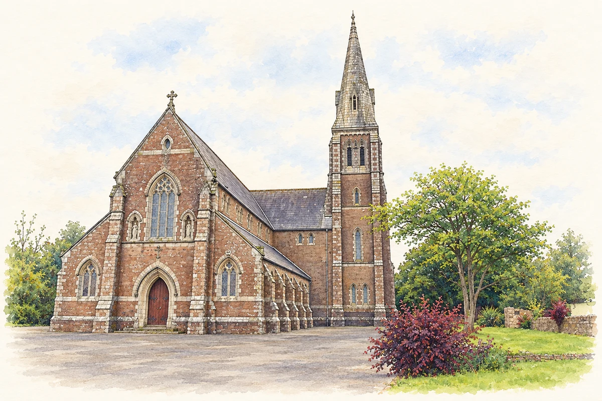
The Church of the Assumption and Saint Laurence O’Toole was begun in 1870 and dedicated in 1873. Its cruciform plan brings nave, transepts and chancel together beneath a timber roof. Red sandstone walls contrast with granite dressings outside; inside, polished red marble pillars support the pointed arcades. A spire rises above the four-stage tower. [2]
The graveyard contains limestone memorials with death dates between 1820 and 1859. The architectural inventory identifies markers initialled or signed by John Ronin, who died in 1859, as examples of Wexford’s early nineteenth-century churchyard sculpture. Granite caps and ornamental iron gates also form part of the recorded graveyard setting. [3]
Census figures refer to the matched historical census area for each year. Boundaries and spellings can change over time.
Most frequent surnames in this year’s matched records
Explore the 1901 records ↗Most frequent surnames in this year’s matched records
Explore the 1911 records ↗Most frequent surnames in this year’s matched records
Explore the 1926 records ↗Name record retrieved 2026-10-25 · Source record modified 2025-01-10. How this page was prepared.