Townland

Rathaspick

Ráth Easpaig

A farmhouse recorded by 1840 preserves a distinctive slate-covered side wall.
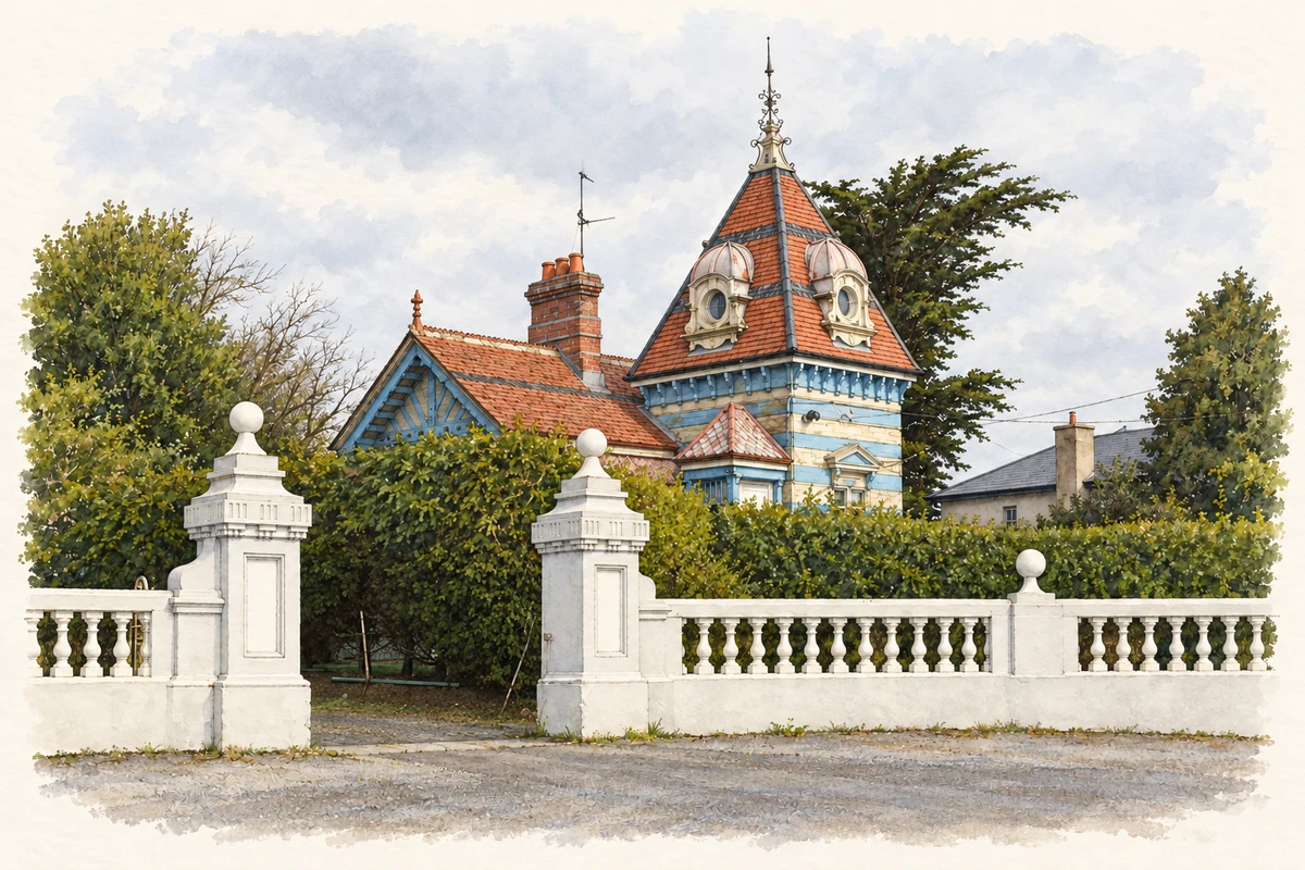
Watercolour and fine ink of the distinctive blue lodge at Rathaspeck Manor, with a steep red tiled tower roof behind a hedge and white gateway.
The lodge of Rathaspeck Manor at Rathaspick, as photographed in March 2009.
Recorded locationRathaspick52.30620° N · 6.49808° WInteractive map supplied by OpenStreetMap.
Recorded place location · Logainm.ie

The name

These Irish name elements are associated with this record in the Logainm glossary.

An element’s translation is a clue, rather than a complete explanation of the name. Its form and meaning depend on local history and the full Irish name.

Recorded forms

  • Ráth Easpaig · Irish · main form · non-validated name
  • Rathaspick · English · main form

Place & story

A farmhouse and its yard

The architectural inventory records this Rathaspick farmhouse as standing by 1840. A glazed porch marks the centre of its two-storey front, with a fanlight over the inner entrance. Part of the eastern wall is hung with slates. Red-brick chimney stacks carry octagonal pots, while the adjoining yard includes outbuildings and a cow-tail water pump recorded as present by 1903. [2]

Geographic information

Place type
Townland
County
Wexford
Barony
Forth
Civil parish
Rathaspick
Coordinates
52.30620, -6.49808
Mapped area
0.87 km²
Logainm ID
54318 ↗

People & family history

Census figures refer to the matched historical census area for each year. Boundaries and spellings can change over time.

1901 census

No verified place match is available for this year. This does not indicate a population of zero.

1911 census

34People recorded
9Households recorded

Most frequent surnames in this year’s matched records

  • Westnot 8
  • Harris 4
  • Meyler 3
  • Tuach 3
  • Fortune 2
Explore the 1911 records ↗

1926 census

24People recorded
7Households recorded

Most frequent surnames in this year’s matched records

  • Cuddihy 5
  • Walsh 5
  • Monds 3
  • Fortune 2
  • Mayler 2
Explore the 1926 records ↗

Sources & further reading

  1. Logainm.ie — Rathaspick. Place names and geographic record, licensed under CC BY 4.0.
  2. Rathaspick farmhouse, registration15704219, Wexford survey2005 · National Inventory of Architectural Heritage
  3. Boundary geometry retains its source attribution and licence in the downloadable geographic record. Map tiles © OpenStreetMap contributors.
  4. Lodge of Rathaspeck Manor, Rathaspick, County Wexford illustration: based on a Lodge of Rathaspeck Manor by David Hawgood. AI-assisted watercolour and ink adaptation; cream paper margins added, incidental clutter omitted and fine details simplified. Licence: CC BY-SA 2.0.

Name record retrieved 2026-10-25 · Source record modified 2026-08-05. How this page was prepared.