 placenames
1901 census
39People recorded
9Households recorded
Most frequent surnames in this year’s matched records
- Murphy 9
- Armstrong 8
- Birney 8
- Chapman 5
- Creighton 4
The original Northern Ireland census records this Fermanagh townland within Greenhill electoral division.
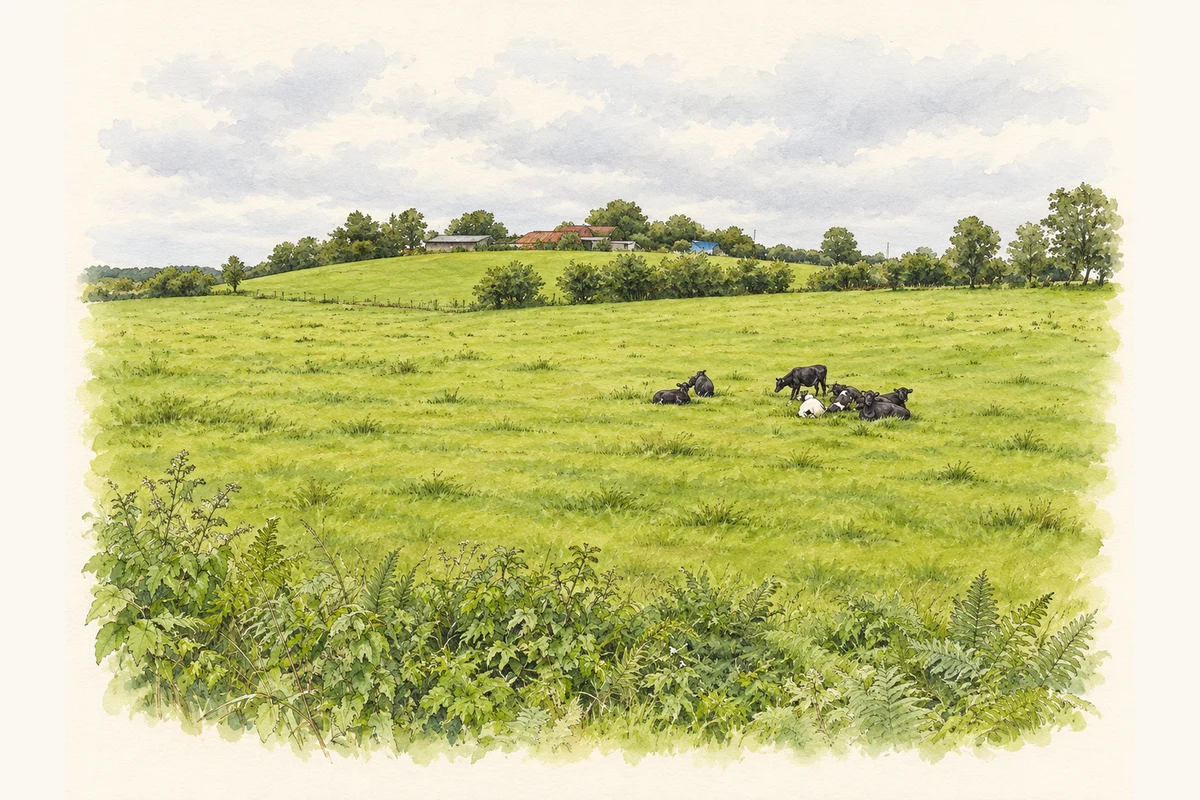
A reliable full-name meaning has not been established here. The recorded Irish and English forms are given without an unsupported translation.
Currin had twenty-three inhabitants in 1926, fifteen male and eight female. Seven of its eight houses were occupied and one was empty. The table recorded seven private families, together occupying twenty-four rooms. Its comparison column gives a population of thirty-four in 1911. Currin was listed in Greenhill electoral division, within Lisnaskea Rural District and the Maguiresbridge dispensary district. Its area was 244 acres and thirty-five perches. [2]
Census figures refer to the matched historical census area for each year. Boundaries and spellings can change over time.
Most frequent surnames in this year’s matched records
Most frequent surnames in this year’s matched records
Explore the 1911 records ↗This year is outside the available dataset’s coverage. This does not indicate a population of zero.
Name record retrieved 2026-10-25 · Source record modified 2019-06-27. How this page was prepared.