These Irish name elements are associated with this record in the Logainm glossary.
An element’s translation is a clue, rather than a complete explanation of the name. Its form and meaning depend on local history and the full Irish name.
Recorded forms
Inis· Irish · main form · validated name
Ennis· English · main form
Place & story
The O'Brien friary
The O'Briens of Thomond founded Ennis's Franciscan friary. The Office of Public Works describes an institution that became an important centre of learning and preserves a remarkable collection of late-medieval sculpture. Carvings in the local hard limestone include Saint Francis displaying the stigmata and an image of Christ with bound hands. The five-lancet east window and vaulted sacristy add architectural interest.[2]
People & connections
Daniel O'Connell in 1828
Daniel O’Connell won the Clare election of 1828, giving Ennis a direct role in the campaign for Catholic Emancipation. A monument at the former courthouse site commemorates the victory and its national significance.[3]
People & connections
Who built the monument
The column was erected in 1867 by public subscription. Clare Libraries’ local history names William Carroll as contractor and Michael Considine of the Ennis Trade Guild as an advocate for an emancipation memorial at a site where a Crimean-war cannon had been proposed.[3]
A town of changing institutions
The former courthouse site became a place of public commemoration, while the friary preserved the sculpture and buildings of an earlier centre of religious learning. These landmarks make different periods of Ennis’s public life visible within the town.[2][3]
Both counts use the 2016 settlement boundary, allowing like-for-like comparison. CSO supplies the 2022 count on this older boundary for comparison only. The official 2022 Built Up Area has different boundaries.
View population figures
Ennis — Census 2016 settlement footprint — census population
These are the historical areas published in the 2006 census report. Boundaries may differ between censuses and from modern settlements. Legal towns, environs and suburbs are shown separately; none has been combined into a modern settlement total.
View population figures
Ennis Legal Town, Clare — Legal town, CSO 2006 report — census population
Ennis Environs, Clare — Town environs only, CSO 2006 report
2002–2006: town environs only
4,111people · 2006
These are the historical areas published in the 2006 census report. Boundaries may differ between censuses and from modern settlements. Legal towns, environs and suburbs are shown separately; none has been combined into a modern settlement total.
View population figures
Ennis Environs, Clare — Town environs only, CSO 2006 report — census population
These are the historical areas published in the 1996 census report. Boundaries may differ between censuses and from modern settlements. Legal towns, environs and suburbs are shown separately; none has been combined into a modern settlement total.
View population figures
Ennis Legal Town, Clare — Legal town, CSO 1996 report — census population
Ennis Environs, Clare — Town environs only, CSO 1996 report
1991–1996: town environs only
2,393people · 1996
These are the historical areas published in the 1996 census report. Boundaries may differ between censuses and from modern settlements. Legal towns, environs and suburbs are shown separately; none has been combined into a modern settlement total.
View population figures
Ennis Environs, Clare — Town environs only, CSO 1996 report — census population
Figures cover the historical town area printed in the 1986 report. Boundaries may have changed between censuses. Legal town, environs and suburb totals remain separate and differ from modern settlement boundaries.
View population figures
Ennis, Clare — Legal town, CSO 1986 report — census population
Ennis, Clare — Town environs only, CSO 1986 report
1981–1986: town environs only
9,630people · 1986
Figures cover the historical town area printed in the 1986 report. Boundaries may have changed between censuses. Legal town, environs and suburb totals remain separate and differ from modern settlement boundaries.
View population figures
Ennis, Clare — Town environs only, CSO 1986 report — census population
These figures use different area definitions. Read the boundary note before comparing them.
Ennis, Clare — 2011 legal town and environs; 2016 census settlement
Published census settlement populations
25,276people · 2016
Settlement boundaries changed during this period. Differences may reflect boundary changes as well as population change. Where a 2011 legal-town-and-environs count is shown, it has not been recalculated onto the 2016 settlement boundary.
View population figures
Ennis, Clare — 2011 legal town and environs; 2016 census settlement — census population
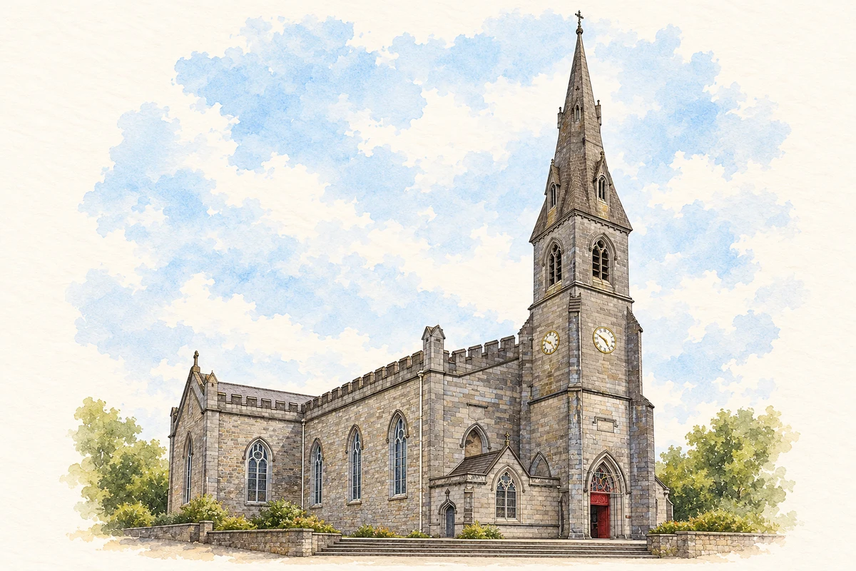
Cathedral of Saints Peter and Paul illustration: based on a reference photograph by Marco Ober. AI-assisted watercolour and ink adaptation; warm cream paper margins; incidental modern clutter removed and fine details simplified. Licence: CC BY-SA 4.0.
 placenames