These Irish name elements are associated with this record in the Logainm glossary.
An element’s translation is a clue, rather than a complete explanation of the name. Its form and meaning depend on local history and the full Irish name.
Recorded forms
Caisleán na Deirge· Irish · main form · validated name
Castlederg· English · main form
Place & story
Crossing the Derg
Castlederg's four-span sandstone bridge dates from around 1835. Its dressed stone arches, rounded cutwaters and carefully finished parapets made an ambitious crossing over the river. Two additional flood arches extend the structure southwards. The historic buildings survey identifies older rubble parapet masonry which may survive from a seventeenth-century predecessor. Stone steps lead down towards the riverbank, bringing the bridge's engineering into close view from below as well as from the roadway.[2]
A church enlarged in stages
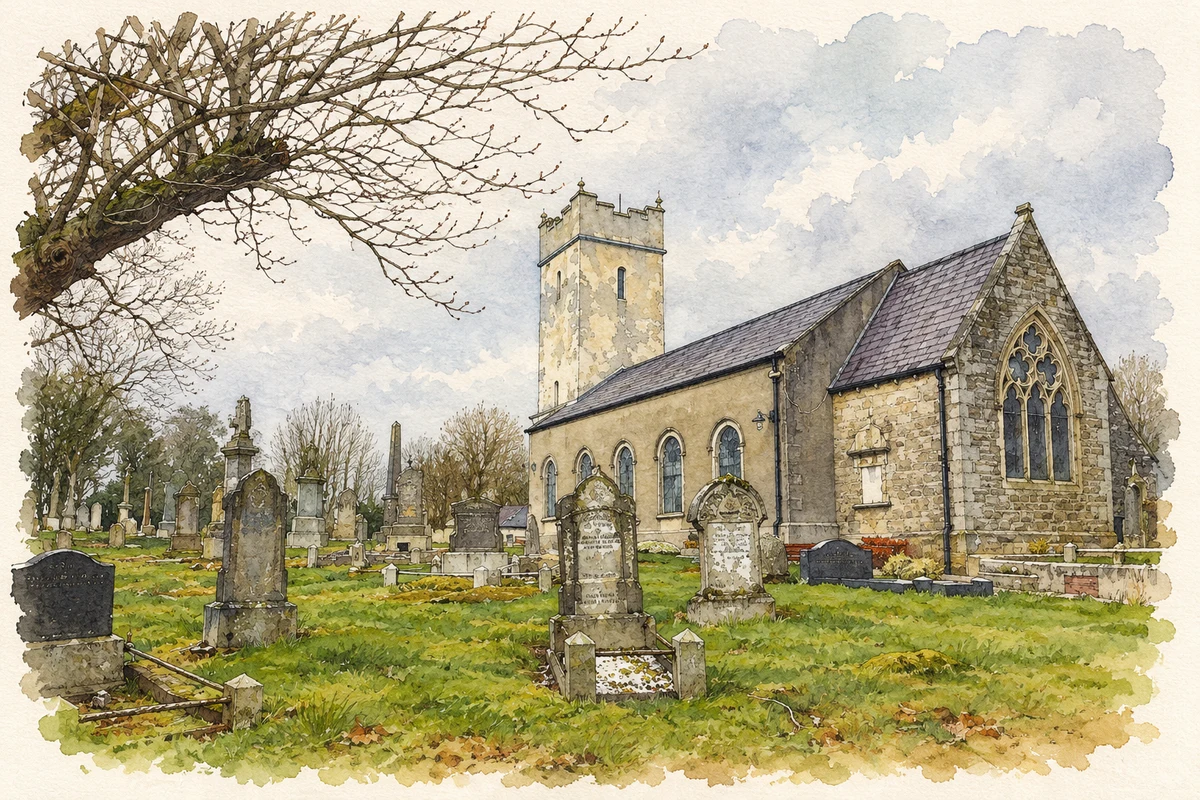
Derg Parish Church on Main Street is dated 1731. Its rectangular nave and western square tower were subsequently joined by a north aisle around 1870 and an eastern chancel around 1905. The survey suggests that the tower may incorporate remains of an earlier seventeenth-century structure. These additions show a congregation adapting an existing church across generations. Its enclosing wall, gates and railings form part of the protected ensemble and give the building a distinct setting beside the street.[3]
Factory to terrace
The stone houses on Castlefinn Road preserve another change of use. The historic buildings record identifies a former factory occupying part of the terrace, with a manager's house at its northern end. Dating from around the middle of the nineteenth century, the buildings were converted into dwellings around 1860 and restored in the 1990s. Their slate roofs, shared chimneys and rubble-stone fronts now belong to a residential streetscape, while the recorded earlier use preserves a less obvious chapter of Castlederg's working history.[4]
Both censuses use the same 2015 settlement boundary. These exact counts cover usual residents in the settlement, rather than local government districts or historic counties. Other NISRA tables may use approximate counts.
View population figures
CASTLEDERG — Settlement 2015 (N11000619) — census population
The census used a grid rectangle around the built-up area, rather than today’s settlement boundary. The 1981 figures are as enumerated, without adjustment for non-enumeration. These counts remain separate from later settlement totals.
View population figures
Castlederg — census rectangle H250840 to H270860 — census population
The published 2001 KS01 settlement count uses an earlier geography and disclosure-control methods. It is not rebased to the 2015 settlement used for 2011 and 2021. The geographic matching file can contain a different 2001 count; the figure shown here comes from KS01.
View population figures
Castlederg — KS01 Settlement (2005 geography) — census population
St John's Church of Ireland, Castlederg, County Tyrone illustration: based on a St John's Church of Ireland, Castlederg by Kenneth Allen. AI-assisted watercolour and ink adaptation; cream paper margins added, incidental clutter omitted and fine details simplified. Licence: CC BY-SA 2.0.
 placenames