 placenames
Limerick Junction
Gabhal Luimnigh
Limerick Junction’s1848 buildings and unusual operating history explain a Tipperary settlement whose identity grew around railway connections.
The name
A reliable full-name meaning has not been established here. The recorded Irish and English forms are given without an unsupported translation.
Recorded forms
- Gabhal Luimnigh · Irish · main form · validated name
- Limerick Junction · English · main form
Place & story
Where two railways met
Limerick Junction developed at the meeting of two railway systems in 1848. The Waterford and Limerick line opened to passenger traffic in May, followed that summer by the Great Southern and Western route from Dublin. The junction gave passengers connections between the north–south main line and the route towards Limerick and Waterford. Despite its name, the settlement and station lie in County Tipperary. [2]
A substantial station building
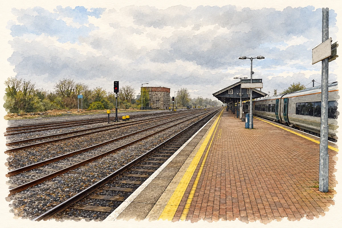
The 1848 station and administration building has a lower central block between taller projecting wings, with later additions at either end. Limestone masonry, brick detailing and a platform canopy survive within a building adapted over time. Nearby, a signal box dating to around 1850 combines limestone at its base with red brick above. The two structures preserve distinct parts of railway work: passenger and administrative accommodation alongside control of train movements. [3] [4]
The reversing junction
The original layout made Limerick Junction unusually complicated to operate. As Martina Clancy's railway history explains, passenger trains had to pass their platform position and reverse into it, with particularly elaborate movements for Waterford-bound services. Even mail and boat trains spent considerable time negotiating the station. A new track layout installed in 1967 changed this arrangement, marking a major alteration to the junction's operation. [2]
Geographic information
- Place type
- Population centre
- County
- Tipperary
- Barony
- Clanwilliam
- Civil parish
- Solloghodbeg
- Coordinates
- 52.49692, -8.20174 (approximate)
- Logainm ID
- 67223 ↗
Sources & further reading
- Logainm.ie — Limerick Junction. Place names and geographic record, licensed under CC BY 4.0.
- The Coming of the Railway to Limerick, pp 10–11 · Martina Clancy, Limerick Civic Trust History and Folklore Project
- Limerick Junction station: NIAH 22205813 · National Inventory of Architectural Heritage
- Limerick Junction signal box: NIAH 22205814 · National Inventory of Architectural Heritage
- Limerick Junction railway station, County Tipperary illustration: based on a Limerick Junction station by John Lucas. AI-assisted watercolour and ink adaptation; cream paper margins added, incidental clutter omitted and fine details simplified. Licence: CC BY-SA 2.0.
Name record retrieved 2026-10-25 · Source record modified 2025-01-10. How this page was prepared.