 placenames
Milestone
Cloch an Mhíle
Milestone’s surviving distance stone, former school and early GAA team preserve specific connections between a small settlement and its wider district.
The name
These Irish name elements are associated with this record in the Logainm glossary.
An element’s translation is a clue, rather than a complete explanation of the name. Its form and meaning depend on local history and the full Irish name.
Recorded forms
- Cloch an Mhíle · Irish · main form · validated name
- Milestone · English · main form
Place & story
The stone at the junction
Milestone takes its name from a surviving limestone distance marker at a road junction in Graniera. The architectural inventory dates the triangular stone to around 1780. Its faces give distances to Newport, Thurles and Tipperary, with the lettering cut in Roman capitals. The marker recalls coach travel and postal distribution, when a conspicuous roadside object could give its name to the settlement around it. [2]
The school amalgamation
Milestone once had its own national school. In September 1984 its pupils joined those of Roskeen and Upperchurch in the new Upperchurch Central National School, Scoil Íosagáin. The receiving school's history records a purpose-built building and a combined teaching staff. This amalgamation linked several smaller educational centres, making Milestone part of the history of schooling across the wider Upperchurch district. [3]
An early local sporting identity
The Upperchurch Drombane club's history names Milestone among the local groups that registered GAA teams before a single parish organisation became established. Ballyboy Rovers, Foilnamon and Knockeravoola also fielded teams at different times. The record preserves Milestone's distinct sporting identity within a district whose clubs later underwent repeated combinations and reorganisations. [4]
Geographic information
- Place type
- Population centre
- County
- Tipperary
- Barony
- Kilnamanagh Upper
- Civil parish
- Upperchurch
- Coordinates
- 52.67905, -8.08576 (approximate)
- Logainm ID
- 67231 ↗
Sources & further reading
- Logainm.ie — Milestone. Place names and geographic record, licensed under CC BY 4.0.
- Milestone at Graniera: NIAH 22403906 · National Inventory of Architectural Heritage
- School History · Upperchurch National School
- Club History · Upperchurch Drombane GAA
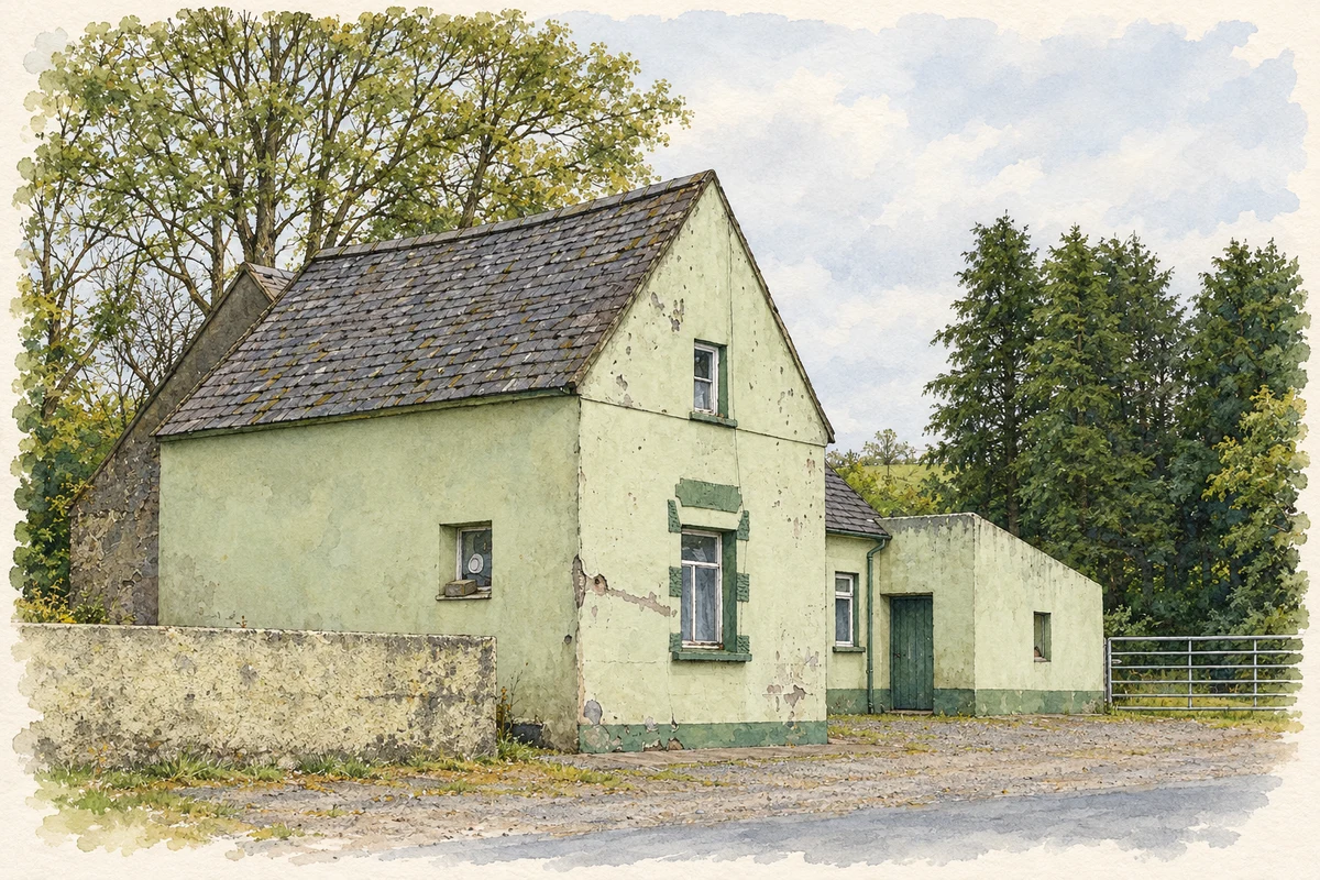
- Ryan's former public house, Milestone illustration: based on a Milestone, County Tipperary by Sarah777. AI-assisted watercolour and ink adaptation; cream paper margins added, incidental clutter omitted and fine details simplified. Licence: CC BY-SA 2.0.
Name record retrieved 2026-10-25 · Source record modified 2025-01-10. How this page was prepared.