 placenames
1901 census
37People recorded
9Households recorded
Most frequent surnames in this year’s matched records
- Doolaghty 8
- Donnelly 7
- Hennessy 7
- Clune 5
- Moroney 4
Tamhnach
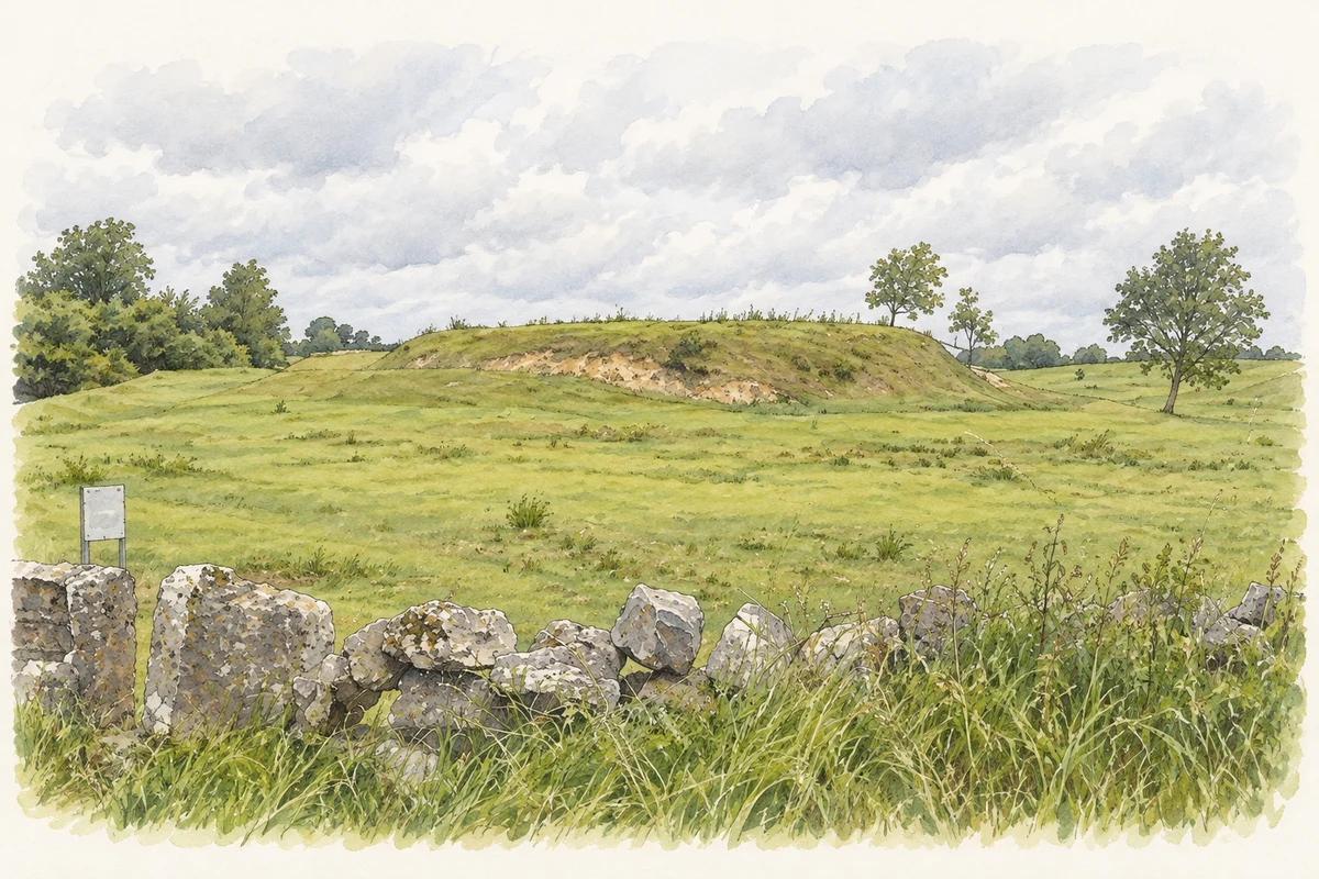
The house’s setting includes a stream crossing with dressed stone details.
These Irish name elements are associated with this record in the Logainm glossary.
An element’s translation is a clue, rather than a complete explanation of the name. Its form and meaning depend on local history and the full Irish name.
Toonagh House in Clooney parish is dated to about 1800 by the architectural inventory. The four-bay, two-storey building has a slate roof and roughcast walls, with rendered details around its corners and openings. The inventory also records a small ruined stone outbuilding and a single-arched bridge over a stream. Dressed stones form the bridge’s arch, with pyramidal coping stones above. [2]
Census figures refer to the matched historical census area for each year. Boundaries and spellings can change over time.
Most frequent surnames in this year’s matched records
Most frequent surnames in this year’s matched records
No verified place match is available for this year. This does not indicate a population of zero.
Name record retrieved 2026-10-25 · Source record modified 2021-11-01. How this page was prepared.