 placenames
Donegal
Dún na nGall
The parish’s town centre preserves a rebuilt courthouse and a church funded partly through a historian’s bequest, while a former workhouse burial ground records another institutional history.
The name
These Irish name elements are associated with this record in the Logainm glossary.
An element’s translation is a clue, rather than a complete explanation of the name. Its form and meaning depend on local history and the full Irish name.
Recorded forms
- Dún na nGall · Irish · main form
- Donegal · English · main form
Place & story
A courthouse repaired and reconstructed
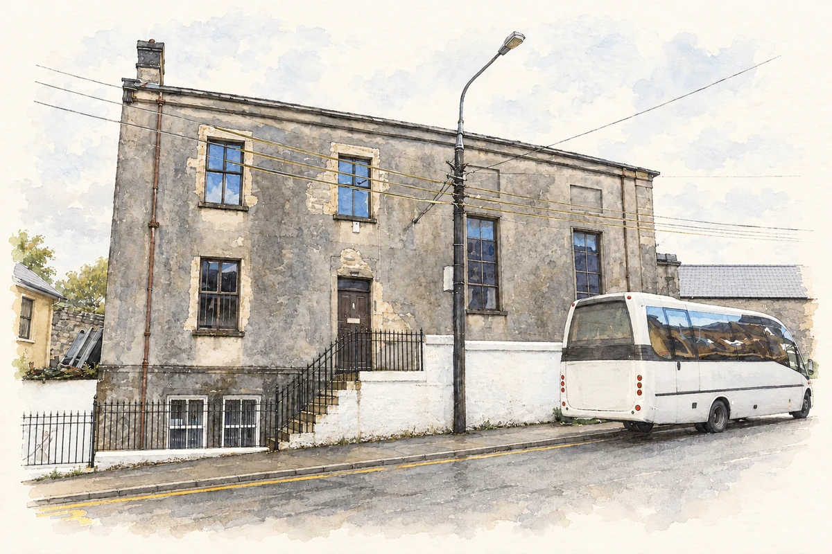
Donegal Courthouse was built in 1833 with offices and a bridewell incorporated behind the courtroom. Frederick Gahan designed its 1891 extension. Fire damaged the building in 1922, and William James Doherty subsequently reconstructed it. The inventory records fixed courtroom benches, a panelled dock and a gallery supported on iron columns. Its surviving interior therefore belongs to a building shaped by several phases of civic use and repair. [2]
Patrick Gallagher’s bequest
The Church of the Four Masters was dedicated on Saint Patrick’s Day in 1935 by Bishop William MacNeely. John Donnelly and Sons of Enniskillen were the contractors. Historian and solicitor Patrick M. Gallagher left money for a Four Masters monument in the Diamond; funds remaining after that commission helped provide the church’s altar and furnishings. His bequest thus connected commemoration in the square with the equipment of a new place of worship. [3]
The workhouse’s unmarked graves
West of the former workhouse complex, a separate burial ground contains unmarked graves associated with the Great Famine. The architectural inventory records its use around 1845–51 and a later cross and memorial plaque. These modest features preserve a different aspect of Donegal’s institutional past from the surviving administration block: the people buried here are remembered collectively where individual grave markers are absent. [4]
Geographic information
Sources & further reading
- Logainm.ie — Donegal. Place names and geographic record, licensed under CC BY 4.0.
- Donegal Courthouse, record 40843010 · National Inventory of Architectural Heritage
- Catholic Church of the Four Masters, record 40843029 · National Inventory of Architectural Heritage
- Donegal Union Workhouse graveyard, record 40843031 · National Inventory of Architectural Heritage
- Donegal Town courthouse, County Donegal, as photographed in August 2011 illustration: based on a Courthouse, Donegal Town by Kenneth Allen. AI-assisted watercolour and ink adaptation; cream paper margins added, incidental clutter omitted and fine details simplified. Licence: CC BY-SA 2.0.
Name record retrieved 2026-10-25 · Source record modified 2026-08-06. How this page was prepared.