 placenames
Enniskean
Inis Céin
Commonly written Enniskeane locally, the village developed beside the Bandon River and gradually joined its neighbour Ballineen.
The name
These Irish name elements are associated with this record in the Logainm glossary.
An element’s translation is a clue, rather than a complete explanation of the name. Its form and meaning depend on local history and the full Irish name.
Recorded forms
- Inis Céin · Irish · main form · validated name
- Enniskean · English · main form
Place & story
Work beside the Bandon
Samuel Lewis’s 1837 description places Enniskean on the Bandon River and the road between Bandon and Dunmanway. He records a paper mill employing about thirty people and slate quarries providing work for a similar number. Four annual fairs traded mainly livestock and small goods, while a penny post connected the village with Bandon. These details show an economy combining river-based industry, quarrying, agriculture and roadside exchange before the railway arrived. [2]
Building the parish church
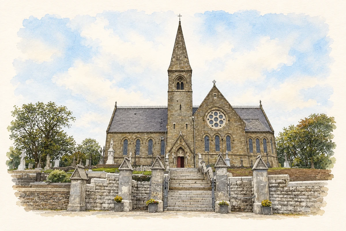
The Church of the Immaculate Conception grew from a project led by parish priest Daniel Coveney. The parish’s history records the Duke of Devonshire’s gift of seventeen acres for the church, presbytery and associated uses, together with a financial contribution. Cork architect Richard Evans supplied the design. Bishop William Delany laid the foundation stone on 7 May 1871; its Latin inscription survives on the exterior behind the altar. The new building replaced an older chapel on the Gurteenroe road. [3]
Two stations become one
Enniskean and Ballineen initially had separate railway stations after the Cork and Bandon line reached the area in 1866. A joint station opened between the villages in May 1891, concentrating transport at a common site. Businesses developed around it, helping connect the two settlements physically as well as commercially. The local heritage group records the combined station closing in April 1961. Its history helps explain why the villages retain distinct names while sharing a closely connected centre. [4]
Geographic information
- Place type
- Town
- County
- Cork
- Barony
- Carbery East (W.D.)
- Civil parish
- Kinneigh
- Coordinates
- 51.74384, -8.92670 (approximate)
- Logainm ID
- 8283 ↗
Sources & further reading
- Logainm.ie — Enniskean. Place names and geographic record, licensed under CC BY 4.0.
- Enniskeane: Samuel Lewis’s 1837 contemporary description · Samuel Lewis, A Topographical Dictionary of Ireland, reproduced by Cork Ancestors
- Founded on faith in Mary: building Enniskeane Church, 7 February 2017 · Enniskeane and Desertserges Parish
- Ballineen and Enniskeane: The Bandon River, history and stories, page 22 · Michael O’Connell, Ballineen and Enniskeane Area Heritage Group
- Church of the Immaculate Conception, Enniskean illustration: based on a Church of the Immaculate Conception, Enniskean by Jonathan Thacker. AI-assisted watercolour and ink adaptation; cream paper margins added, incidental clutter omitted and fine details simplified. Licence: CC BY-SA 2.0; adapted illustration distributed under the same licence.
Name record retrieved 2026-10-25 · Source record modified 2025-01-10. How this page was prepared.