These Irish name elements are associated with this record in the Logainm glossary.
An element’s translation is a clue, rather than a complete explanation of the name. Its form and meaning depend on local history and the full Irish name.
Recorded forms
An Dún· Irish · main form · validated name
Down· English · main form
Place & story
Coast and neighbouring counties
Lewis’s 1837 account places Down between the Irish Sea, Belfast Lough, Antrim and Armagh. It distinguishes the Ards peninsula east of Strangford Lough from Dufferin on the western side. These are useful geographical relationships: places facing the same lough may belong to different districts, while the water can connect communities as well as separate them. The county’s history cannot be represented by one coastal town alone.[2]
Several centres of authority
The directory discusses Ulidia as an older regional label and describes separate earlier jurisdictions, including Lecale and the Ards. It also records uncertainty about when these were consolidated into the county. Downpatrick’s religious and county-town roles, and Bangor’s abbey and later settlement, belonged to different local histories within the broader county.[2][3][4]
Folklore & tradition
Patrick's traditional grave
On the Hill of Down at Downpatrick, a large Mourne granite slab marks what is traditionally regarded as Patrick's burial place. A wreath is laid there on St Patrick's Day.[6]
People & connections
A Newry childhood and a legal career
Charles Russell, later Baron Russell of Killowen, was born in Newry in 1832. His father owned a brewery there; during Charles's childhood the family moved to Killowen on Carlingford Lough. Russell eventually became lord chief justice of England and Wales, holding that office from 1894 until his death in 1900. His local connection is therefore more precise than a county birthplace alone: both an urban commercial household and the lough shore formed part of his early life. His biography also illustrates the movement between Down, Belfast, Dublin and Britain that lay behind many nineteenth-century careers.[7]
Published county totals use the boundaries at each census; administrative changes can affect comparisons. Early figures exclude members of the armed forces. Belfast is excluded; boundary transfers also affected these figures. They do not describe the modern council district.
View population figures
Down — historical county, excluding Belfast — census population
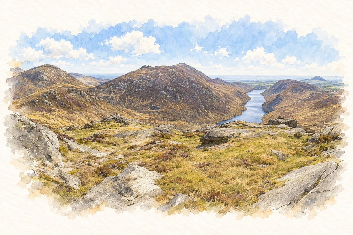
Silent Valley and the Mourne Mountains from Doan illustration: based on a The Silent Valley from Doan by Rossographer. AI-assisted watercolour and ink adaptation; cream paper margins added, incidental clutter omitted and fine details simplified. Licence: CC BY-SA 2.0.
 placenames