Westmeath’s lakes and religious sites carry some of Ireland’s most familiar traditions. Its towns also connect canal commerce with the beginnings of an international musical career.
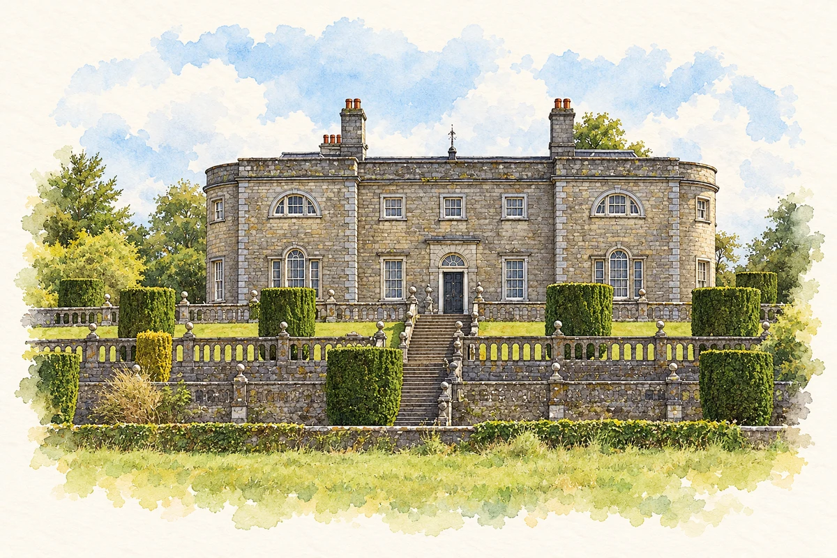
Illustration, Belvedere House, County Westmeath
⊕Recorded locationWestmeath53.53629° N · 7.41723° WInteractive map supplied by OpenStreetMap.
A reliable full-name meaning has not been established here. The recorded Irish and English forms are given without an unsupported translation.
Recorded forms
An Iarmhí· Irish · main form · validated name
Westmeath· English · main form
Place & story
Mullingar’s working waterways
Lewis’s 1837 account places Mullingar’s commerce within the Royal Canal and Brosna landscape. Wool, butter and livestock trading joined brewing and tanning in the town’s economy. Farther west, Athlone developed across the Shannon, spanning the Westmeath and Roscommon sides of the river. These different waterways connected the county with markets beyond its borders, while the lakes provided a separate setting for stories and local memory.[2][3]
Folklore & tradition
The Children of Lir on Lough Derravaragh
In P. W. Joyce’s Old Celtic Romances, the Children of Lir spend the first three hundred years of their enchantment as swans on Lake Darvra, identified in his notes as Lough Derravaragh. They retain speech and sing music that comforts those who hear it. Friends gather beside the lake before the children must depart for harsher waters. This is one literary version of the legend: the Westmeath lake is the setting of its long opening exile.[4]
Folklore & tradition
The Seven Wonders of Fore
Traditions around Fore associate extraordinary features of the site with St Feichin. The Office of Public Works lists a monastery built on a bog, a mill without a race, and a great lintel lifted through prayer among its Seven Wonders. In the mill story, the saint causes water to emerge by thrusting his staff into the earth. These legends give walls, water and machinery a place in the remembered life of the saint.[5]
People & connections
John McCormack’s beginnings in Athlone
Tenor John McCormack was born in Athlone in 1884 to parents who worked in the local mill. The John McCormack Society traces his education from the Marist Brothers in Athlone to Summerhill College in Sligo, and his later singing with Dublin’s Palestrina Choir. Winning the tenor gold medal at the 1903 Feis Ceoil helped launch a career that eventually reached international opera houses, concert platforms and recording audiences.[6]
Figures cover the whole county including its cities. CSO recommends this series for long-term comparison, although minor boundary changes have occurred.
View population figures
County Westmeath, including its cities — census population
Belvedere House, County Westmeath illustration: based on a Belvedere House, Mullingar by Mike Searle. AI-assisted watercolour and ink adaptation; cream paper margins added, incidental clutter omitted and fine details simplified. Licence: CC BY-SA 2.0.
 placenames