 placenames
Ruan
An Ruán
Ruan’s old graveyard, twentieth-century church and former school preserve different chapters of village life.
The name
A reliable full-name meaning has not been established here. The recorded Irish and English forms are given without an unsupported translation.
Recorded forms
- An Ruán · Irish · main form · validated name
- Ruan · English · main form
Place & story
A village of fairs
Ruan’s September fair was singled out by Samuel Lewis in 1837 as one of Clare’s principal sheep fairs. Another fair took place in June. Clare Libraries’ local history records their eventual decline as livestock marts replaced the older village gatherings. The same account traces a later change in community buildings: when a new school opened outside the village in 1977, the old school was adapted as a community centre. [2]
Building St Mary’s
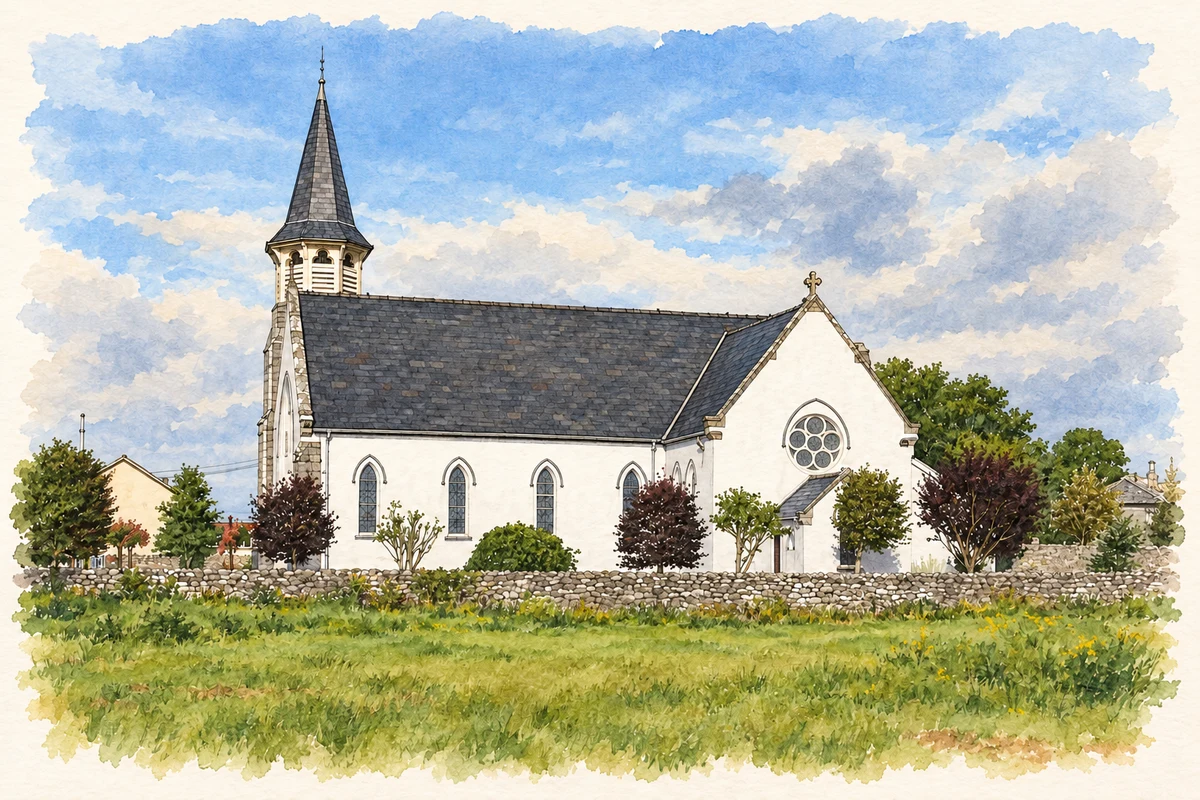
Linda Hogan’s church centenary history draws on diocesan records to date the first stone of St Mary’s to 11 May 1910. A contemporary newspaper report records its dedication in July 1911. The spire and porches followed later. Stained glass from the former Convent of Mercy chapel in Ennis was subsequently transferred to Ruan, giving the sanctuary windows a history that extends beyond this church. [3]
The older church and its tomb chapel
The old graveyard preserves a different church, dated in the centenary history to the late fifteenth century. A smaller chapel projects from the ruin. Its inscription records that Donnach O’Kerine, son of Dermot O’Kerine of Owan, erected the chapel and tomb for his descendants in 1688. The adjoining structures preserve separate medieval and seventeenth-century phases at the burial ground. [3]
Geographic information
Sources & further reading
- Logainm.ie — Ruan. Place names and geographic record, licensed under CC BY 4.0.
- Ruan: Historical Background · Clare Libraries Local Studies
- St Mary’s Church, Ruan, 1911–2011 · Linda Hogan, Clare Libraries Local Studies
- St Mary's Church, Ruan, County Clare illustration: based on a Photograph of St Mary's, Ruan by The Banner. AI-assisted watercolour and ink adaptation; cream paper margins added, incidental clutter omitted and fine details simplified. Licence: CC BY-SA 4.0.
Name record retrieved 2026-10-25 · Source record modified 2025-01-10. How this page was prepared.