 placenames
1901 census
No verified place match is available for this year. This does not indicate a population of zero.
Drom Mór
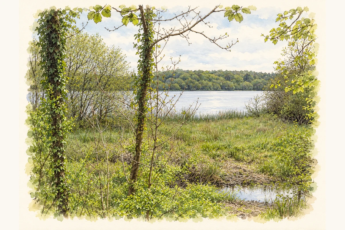
The Clare townland gives its name to a wider landscape of woodland, limestone and water.
These Irish name elements are associated with this record in the Logainm glossary.
An element’s translation is a clue, rather than a complete explanation of the name. Its form and meaning depend on local history and the full Irish name.
Dromore had thirty-five inhabitants in 1901, fifteen male and twenty female, in six occupied houses. Its population had been thirty-one in 1881 and thirty-seven in 1891. The census places it in Ruan parish and electoral division, within Corrofin dispensary district and Poor Law Union, and records an area of 1,033 acres and fifteen perches. [2]
The National Parks and Wildlife Service lists Dromore Nature Reserve as state-owned, established in 1985 and covering 370 hectares. Its 2013 account of the wider Dromore Woods and Loughs protected site describes lakes largely linked by the River Fergus, with woodland, limestone pavement and wetland habitats. It records a lesser horseshoe bat nursery colony exceeding four hundred individuals. Those observations concern the wider surveyed site, rather than every part of Dromore townland. [3] [4]
Census figures refer to the matched historical census area for each year. Boundaries and spellings can change over time.
No verified place match is available for this year. This does not indicate a population of zero.
Most frequent surnames in this year’s matched records
No verified place match is available for this year. This does not indicate a population of zero.
Name record retrieved 2026-10-25 · Source record modified 2021-02-08. How this page was prepared.